NASA, SpaceX Launch NOAA’s Latest Weather Satellite
NASA successfully launched the fourth and final satellite in a series of advanced weather satellites for NOAA (National Oceanic and..
Eurasia Review
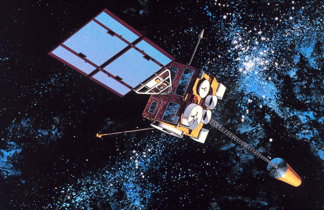
The Geostationary Operational Environmental Satellite (GOES), operated by the United States' National Oceanic and Atmospheric Administration (NOAA)'s National Environmental Satellite, Data, and Information Service division, supports weather forecasting, severe storm tracking, and meteorology research. Spacecraft and ground-based elements of the system work together to provide a continuous stream of environmental data. The National Weather Service (NWS) and the Meteorological Service of Canada use the GOES system for their North American weather monitoring and forecasting operations, and scientific researchers use the data to better understand land, atmosphere, ocean, and climate dynamics.
NASA successfully launched the fourth and final satellite in a series of advanced weather satellites for NOAA (National Oceanic and..